Geospatial information
The Statistics Division of the Economic Commission for Latin America and the Caribbean (ECLAC) leads the development of technological solutions for data visualization in the territory through the information dissemination platforms available at ECLAC. In this context, one of the Division’s most significant tasks has been the incorporation of the geospatial dimension into the CEPALSTAT platform, which allows the georeferenced visualization of statistical data disaggregated according to different levels of spatial disaggregation. Also noteworthy is the implementation of the CEPALGEO platform, consisting of a set of technological tools —catalogues, viewers and geospatial services— that allow remote access to a wide range of geospatial information products and their use to support decision-making and public policymaking in Latin America and the Caribbean.
Activities
Thirteenth meeting of the Statistical Conference of the Americas of ECLAC
The Thirteenth meeting of the Statistical Conference of the Americas of ECLAC will take place in Santiago, from November 25 to 27, 2025.

Geospatial Intelligence in Action: Jamaica’s Response to Hurricane Melissa
Within the framework of GIS Day 2025, the webinar organized by CARIGEO and Jamaica's national NERGIST team highlighted the strategic use of geospatial information to support response, damage assessment and recovery following the impact of Hurricane Melissa, emphasizing the value of inter-institutional and regional cooperation.
Interregional workshop on tools for the dissemination of geospatially enabled statistical data
Representatives from national statistical offices in Argentina, Costa Rica, Ecuador, Paraguay, and the Dominican Republic met in Santiago, along with experts from ECLAC, to exchange experiences on the use of geospatial tools in the dissemination of statistical data.

GeoAI Community of Practice (CoP)
This is a side event of the Twelfth Session of UN-GGIM: Americas.
News

SICA countries strengthen capacities to modernize their information systems and statistical geoportals
The meeting in Panama City brought together national statistical offices to exchange experiences in knowledge management and modernization of data platforms, with the technical support of ECLAC.

ECLAC highlights regional advances in geospatial and statistical information before the United Nations Committee of Experts on Global Geospatial Information Management
At United Nations Headquarters, ECLAC presented concrete progress in the implementation of the Integrated Geospatial Information Framework (UN-IGIF) and the Global Geospatial Statistical Framework (GSGF) in Latin America and the Caribbean, highlighting the value of geospatial and statistical information in guiding public policies and achieving the SDGs.

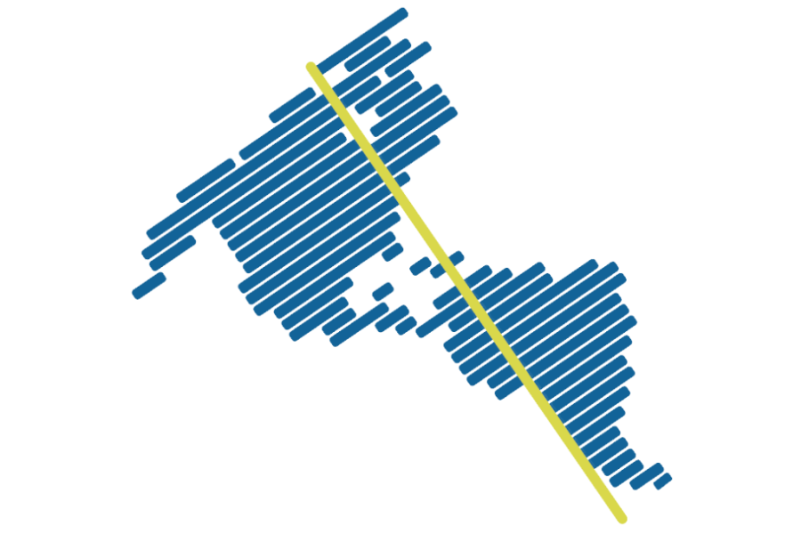
Statistical Innovation: ECLAC Promotes the Use of Non-Traditional Sources to Improve Regional Analysis
Through the innovative use of satellite and geospatial data, statistical, geographic, and Earth observation information has been effectively integrated at the subnational level, significantly enriching the territorial, environmental, and socioeconomic analysis of Latin America and the Caribbean.

Strengthening capacities for statistical-geospatial integration in the Buenos Aires Metropolitan Region
ECLAC is collaborating with statistical agencies from the City and Province of Buenos Aires in the development of the indicator system for the Buenos Aires metropolitan region and its statistical geoportal, REMEBA.
Publication featured
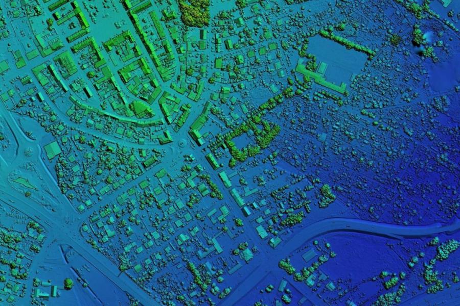
Use of satellite imagery to produce regional statistics disaggregated by territory
In the information age, the production of official statistics has evolved significantly from the traditional approach of classical statistical operations. The use of non-traditional information…