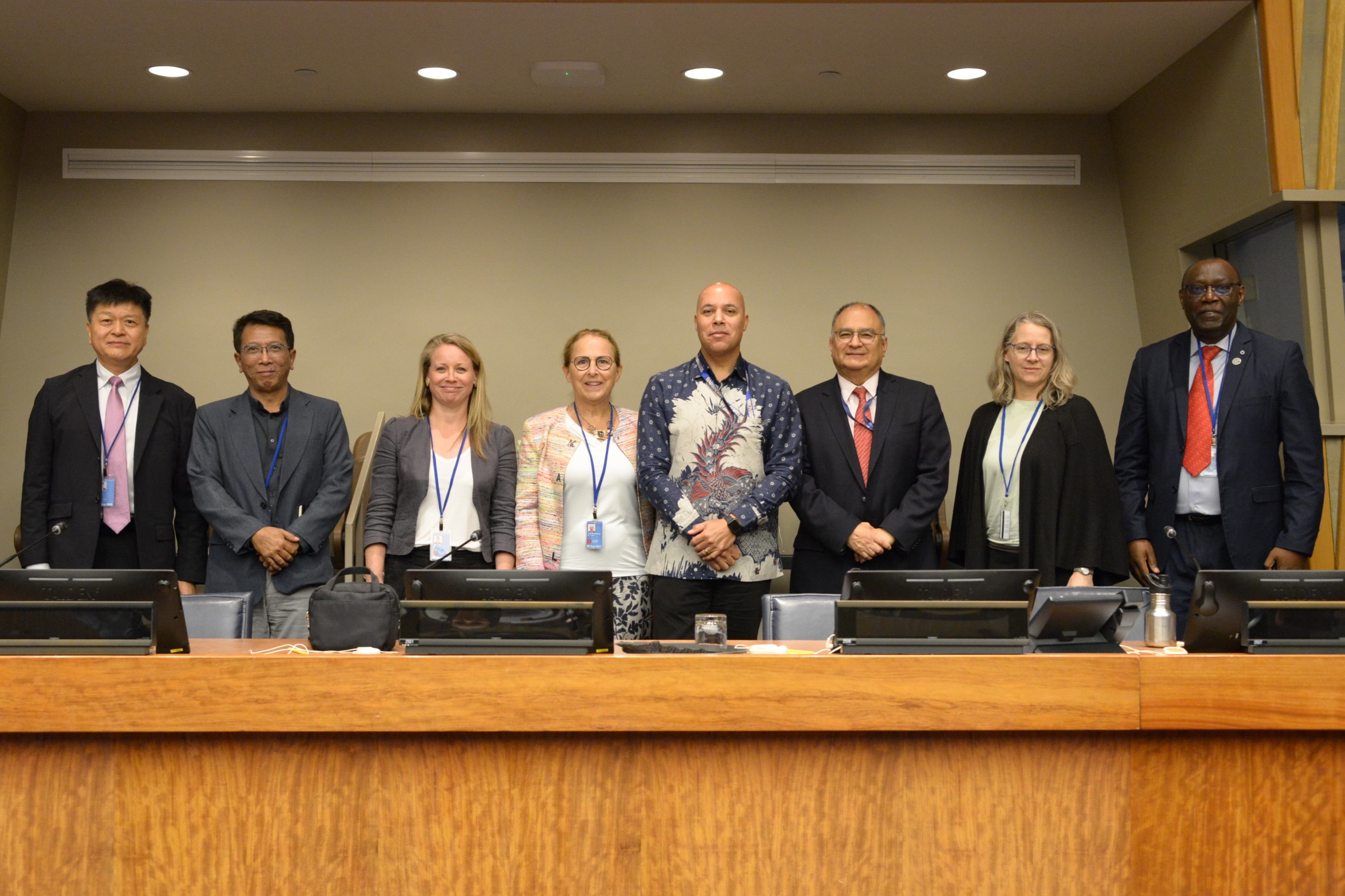
ECLAC highlights regional advances in geospatial and statistical information before the United Nations Committee of Experts on Global Geospatial Information Management
Work area(s)
Topic(s)
At United Nations Headquarters, ECLAC presented concrete progress in the implementation of the Integrated Geospatial Information Framework (UN-IGIF) and the Global Geospatial Statistical Framework (GSGF) in Latin America and the Caribbean, highlighting the value of geospatial and statistical information in guiding public policies and achieving the SDGs.

Within the framework of the Fifteenth Session of the United Nations Committee of Experts on Global Geospatial Information Management (UN-GGIM), ECLAC, through its Statistics Division, participated in the side event "Forum on Integrated Geospatial Information for Development Agendas", held on August 5, 2025, in New York. This side event focused on highlighting the importance of integrating geospatial information to advance the SDGs and national development priorities, emphasizing global frameworks as a tool to improve institutional coordination, interdisciplinary collaboration, and access to reliable and disaggregated geospatial and statistical data.
In this context, ECLAC's Statistics Division presented the main progress achieved by Latin American and Caribbean countries in the application of the United Nations Integrated Geospatial Information Framework (UN-IGIF) and in the integration of statistical and geospatial data, through the implementation of the principles of the Global Geospatial Statistical Framework (GSGF) to support sustainable development planning in the region.
The presentation highlighted how ECLAC has supported various countries in strengthening governance, strategic planning, and the integration of statistical and geospatial data, thus contributing to improving public policymaking and monitoring the Sustainable Development Goals (SDGs).
Among the experiences presented, the following stood out:
- Dominican Republic: update of the national geospatial information management policy, based on the nine UN-IGIF strategic pathways.
- Chile: institutional strengthening and intersectoral coordination, open access to public data, and definition of priority data, through a national policy based on the UN-IGIF guidelines.
- Colombia: development of an action plan based on the UN-IGIF strategic pathways through an inter-institutional self-assessment exercise.
The importance of Memoranda of Understanding (MOUs) between statistical offices and geographic institutes (such as the Dominican Republic) was also highlighted, as they guarantee sustainable cooperation, as well as the development and construction of statistical geoportals with support from the European Union. These platforms, implemented in countries such as Argentina, Costa Rica, Ecuador, Paraguay, and the Dominican Republic, among others, allow for the dissemination of key information for decision-making and the design of public policies.
In its intervention, the Commission emphasized that the integration of statistical and geospatial information constitutes a strategic tool for advancing toward more inclusive, informed, and evidence-based sustainable development in Latin America and the Caribbean.
With this work, ECLAC reaffirms its commitment to supporting Member States and UN-GGIM: Americas in capacity building, regional cooperation, and the implementation of global frameworks that make the most of geospatial information for development.