Geospatial Intelligence in Action: Jamaica’s Response to Hurricane Melissa
Work area(s)
Topic(s)
Teaser
Within the framework of GIS Day 2025, the webinar organized by CARIGEO and Jamaica's national NERGIST team highlighted the strategic use of geospatial information to support response, damage assessment and recovery following the impact of Hurricane Melissa, emphasizing the value of inter-institutional and regional cooperation.
Event information

Date
19 Nov 2025, 12:00 - 13:30Event type
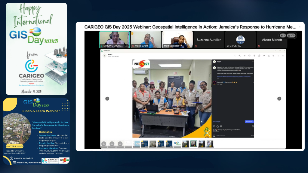
The webinar “Geospatial Intelligence in Action: Jamaica’s Response to Hurricane Melissa,” organized within the framework of GIS Day 2025 under the umbrella of CARIGEO and in coordination with Jamaica’s national NERGIST team, highlighted the strategic role of geospatial information in natural disaster response. The event was held virtually on November 19, 2025, and received technical support from the Economic Commission for Latin America and the Caribbean (ECLAC).
During the webinar, it was presented how, following the impact of Hurricane Melissa in October 2025, geospatial tools enabled real-time situational awareness, damage assessment, identification of inaccessible areas, and support for inter-institutional coordination. The presentations addressed the use of satellite imagery, open data, national dashboards, and drone mapping operations, highlighting the value of collaboration among public agencies, the private sector, academia, and international partners.

The seminar also demonstrated how geospatial information remains crucial in the recovery phase, supporting damage and loss assessments using methodologies such as DALA and contributing to the planning of resilient reconstruction. The panel discussion provided an opportunity to reflect on lessons learned, the need to invest in geospatial capabilities, and the importance of strengthening the Caribbean's regional preparedness for future extreme events.
Schedule
Part 1: Welcome & Opening Remarks
Delivered by: Simone Lloyd, GISP, Caribbean Vocal, CARIGEO Chair and NERGIST Coordinator
- Background and Context of Jamaica’s observance of Geography Awareness Month and GIS Day
- The purpose of GIS Day in a disaster year
- Context-setting on Hurricane Melissa’s impact and the urgency of geospatial action
Part 2: Mini-Keynote - Geospatial Intelligence in Action
a. Seeing the Storm: Geospatial Situational Awareness
Presenter: Alicia Edwards, Principal Director, National Spatial Data Management Branch, Ministry of Economic Growth & Infrastructure Development, Jamaica
How Jamaica leveraged multi-source geospatial data in the earliest hours and days
b. Eyes in the Sky: Jamaica’s Drone Mapping Operations
Presenter: Dr. Valrie Grant, CEO, Jamaica Flying Labs
The national drone response coordinated by Jamaica Flying Labs, in collaboration with NERGIST and the JCAA
c. From Response to Recovery: Data-Driven Rebuilding
Presenter: Nadine Brown, Director, Sustainable Development, Planning Institute of Jamaica
How geospatial information is informing next steps in Jamaica’s recovery
Part 3: Panel Discussion
Why Geospatial Data Matters: Lessons from the Melissa Response
Moderator: Dr. Valrie Grant, CEO, Jamaica Flying Labs
Panelists:
- Simone Lloyd, GISP - NERGIST Coordinator, National Spatial Data Management Branch, Ministry of Economic Growth & Infrastructure Development, Jamaica
- Ronald Jackson - Head, Disaster Risk Reduction & Recovery for Building Resilience, Crisis Bureau, United Nations Development Programme (UNDP)
- Nadine Brown - Director, Sustainable Development, Planning Institute of Jamaica (PIOJ)
- Matthew Webster - Head of Geospatial Technologies, Spatial Innovision Ltd.
Discussion Themes:
- How spatial data improved coordination and safety
- Investing in geospatial capacity: people, systems, partnerships
- Vision for future Caribbean disaster-response geospatial readiness
Part 4: Q&A Session
Part 5: Vote of Thanks & Closing Remarks