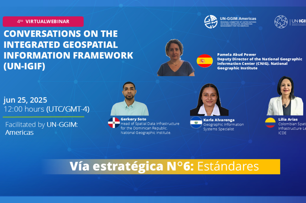
Fourth Virtual Webinar - Conversations on the Integrated Geospatial Information Framework (UN-IGIF): Strategic Pathway 6: Standards/Norms
Work area(s)
Topic(s)
Teaser
The Integrated Geospatial Information Framework (UN-IGIF) was developed in collaboration between the United Nations and the World Bank, with the purpose of providing guidance to countries in developing and strengthening their national and subnational arrangements on geospatial information management and related infrastructure.
Event information
Date
25 Jun 2025, 12:00 - 13:00Event type
Organized by the Working Group on the Integrated Geospatial Information Framework (UN-IGIF) of UN-GGIM: Americas.
The Working Group on the Integrated Geospatial Information Framework (UN-IGIF) of the Regional Committee of the United Nations on Global Geospatial Information Management for the Americas (UN-GGIM: Americas) was created with the aim of enabling the countries of the region to advance in the implementation of this Framework. In this regard, the group has designed a series of consultations aimed at Member States to assess the status of UN-IGIF implementation in the Americas. These consultations have highlighted the importance of delving into tangible experiences in each of the nine strategic pathways of the Framework: Governance; Policy and Legal Framework; Finance; Data; Innovation; Standards; Partnerships; Capacity and Education; and Communication and Engagement.
Strategic Pathway 6 aims to establish and ensure the adoption of standards and mechanisms that enable the interoperability of data and technologies, thus facilitating more efficient, integrated, and useful management of geospatial information. This strategic path is based on the principle that the use of geospatial standards improves the collection, application, and sharing of data, optimizing decision-making and the delivery of public services, and contributing to the Sustainable Development Goals.
UN-GGIM: Americas promotes this path through exchange spaces such as these webinars, where experiences, challenges, and regional best practices are shared. On this occasion, representatives from four countries will present their progress in standardization, addressing key aspects such as metadata catalogs, quality, data models, technical committees, and institutional collaborations.
The main objectives are:
- Disseminate the Integrated Geospatial Information Framework (UN-IGIF) from a practical and real-world perspective
- Provide countries with the opportunity to learn about concrete experiences in the implementation of each UN-IGIF strategic pathway
- Encourage countries to begin the process of implementing UN-IGIF by using available materials, implementation guides, and success stories
Related content
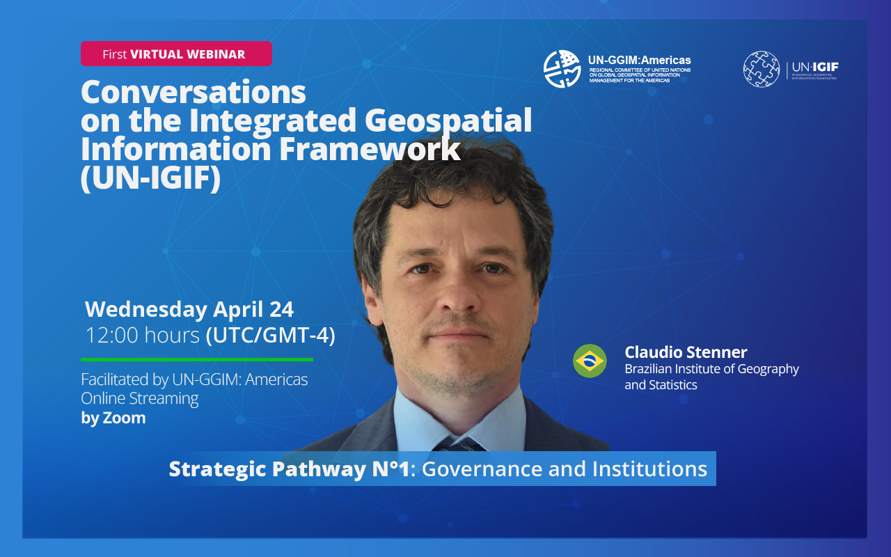
First Virtual Webinar - Conversations on the Integrated Geospatial Information Framework (UN-IGIF): Strategic Pathway 1: Governance and Institutions
The United Nations Integrated Geospatial Information Framework (UN-IGIF) serves as a foundational roadmap for enhancing geospatial information management globally. Its primary goal is to aid…
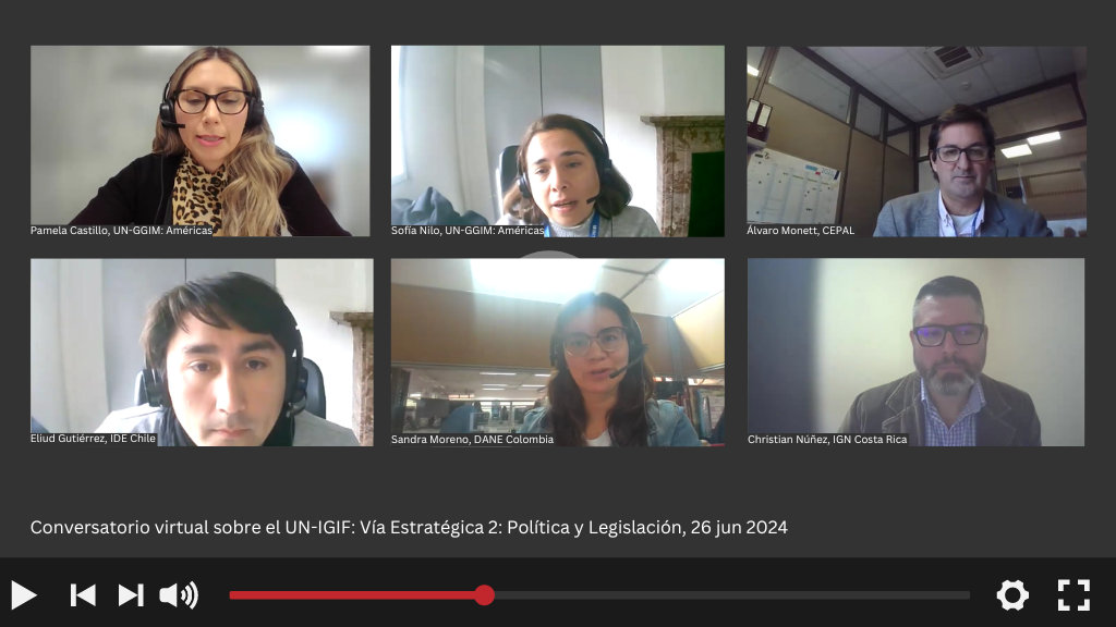
Second Virtual Webinar - Conversations on the Integrated Geospatial Information Framework (UN-IGIF): Strategic Pathway 2: Policy and Legal
The Integrated Geospatial Information Framework (UN-IGIF) was developed in collaboration between the United Nations and the World Bank, with the purpose of providing guidance to countries in…
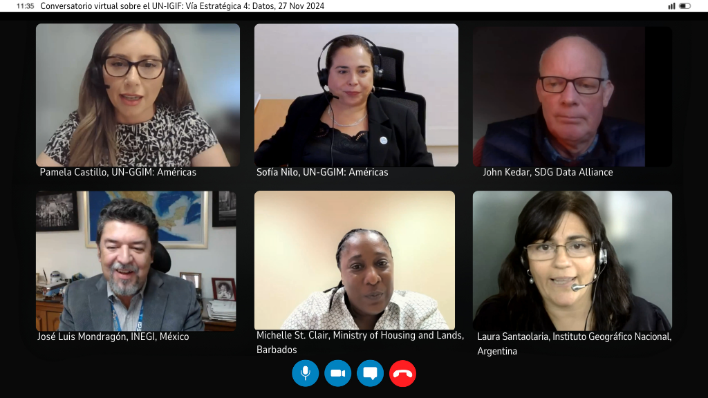
Third Virtual Webinar - Conversations on the Integrated Geospatial Information Framework (UN-IGIF): Strategic Pathway 4: Data
The Integrated Geospatial Information Framework (UN-IGIF) was developed in collaboration between the United Nations and the World Bank, with the purpose of providing guidance to countries in…
Schedule
25 June 2025
12:00 - 13:00
Welcome
- Sofía Nilo, President of UN-GGIM: Americas
Meeting speakers:
Instituto Geográfico Nacional de España (Only Spanish)
Paloma Abad Power
Instituto Geográfico y del Catastro Nacional de El Salvador
Karla Alvarenga.
Instituto Geográfico Nacional "José Joaquín Hungría Morell" de República Dominicana (Only English)
Gerkery Soto
Instituto Geográfico Agustín Codozzi de Colombia
Lilia Patricia Arias Duarte
Attachment(s)
Organizing institution
United Nations Regional Committee on Global Geospatial Information Management for the Americas
- http://www.un-ggim-americas.org/
- telephone
Economic Commission for Latin America and the Caribbean (ECLAC)
- https://www.cepal.org
- 56 222100000