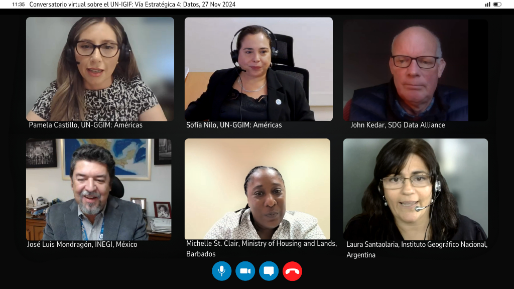
Third Virtual Webinar - Conversations on the Integrated Geospatial Information Framework (UN-IGIF): Strategic Pathway 4: Data
Work area(s)
Topic(s)
Teaser
The Integrated Geospatial Information Framework (UN-IGIF) was developed in collaboration between the United Nations and the World Bank, with the purpose of providing guidance to countries in developing and strengthening their national and subnational arrangements on geospatial information management and related infrastructure.
Event information
Date
27 Nov 2024, 07:00 - 08:00Event type
Organized by the Working Group on the Integrated Geospatial Information Framework (UN-IGIF) of UN-GGIM: Americas.
The Working Group on the Integrated Geospatial Information Framework (UN-IGIF) of the Regional Committee of the United Nations on Global Geospatial Information Management for the Americas (UN-GGIM: Americas) was created with the aim of enabling the countries of the region to advance in the implementation of this Framework. In this regard, the group has designed a series of consultations aimed at Member States to assess the status of UN-IGIF implementation in the Americas. These consultations have highlighted the importance of delving into tangible experiences in each of the nine strategic pathways of the Framework: Governance; Policy and Legal Framework; Finance; Data; Innovation; Standards; Partnerships; Capacity and Education; and Communication and Engagement.
This discussion aims to continue the series of webinars on each of the 9 strategic pathways of the Integrated Geospatial Information Framework (IGIF). The dissemination and knowledge of these 9 pathways is materialized in a practical and real way with tangible situations experienced by the countries themselves. In addition, this moment becomes a space to address and resolve doubts by building shared capacities and experiences.
The Strategic Pathway 4 on data is the primary source of the Framework. Geospatial data is the foundation on which governments base many decisions. It is used in policy development and in the delivery of government services. Its use is growing exponentially across all sectors for e-commerce, business intelligence, making timely and accurate decisions and informing policy. Having access to the right data at the right time is crucial for good decision making.
The experiences of three countries in the region will be presented at different stages of geospatial data management, from production to publication.. These experiences provide good practices that can be useful for everyone. This is an excellent space to understand the functioning of strategic track number 4 of the Integrated Geospatial Information Framework and how it is applied in different contexts.
This approach enhances the value of the exchange of experiences and the opportunity to learn about the practical application of the strategy in other countries.
The main objectives are:
- To disseminate the Integrated Geospatial Information Framework (UN-IGIF) from a practical and real perspective.
- To provide countries with the opportunity to learn about concrete experiences in the implementation of each strategic pathway of UN-IGIF.
- To encourage countries to initiate the UN-IGIF implementation process by addressing available materials, as well as implementation guides and success stories.
- To address and resolve doubts within a space for capacity building and shared experiences.
Programme of work
Welcome remarks
Sofía Nilo, President UN-GGIM: Americas
Introduction to Strategic Path 4: Data
Presentation(s)
Data Production
Presentation(s)
Production and Quality Control
Presentation(s)
Data Integration and Publication
Presentation(s)
Questions
Moderation: Isis Tejada, Instituto Geográfico “Tommy Guardia” of Panama
Related content
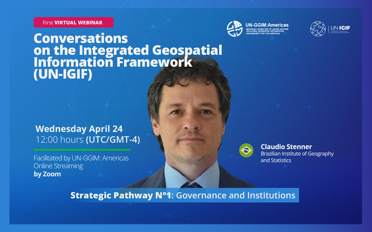
First Virtual Webinar - Conversations on the Integrated Geospatial Information Framework (UN-IGIF): Strategic Pathway 1: Governance and Institutions
The United Nations Integrated Geospatial Information Framework (UN-IGIF) serves as a foundational roadmap for enhancing geospatial information management globally. Its primary goal is to aid…
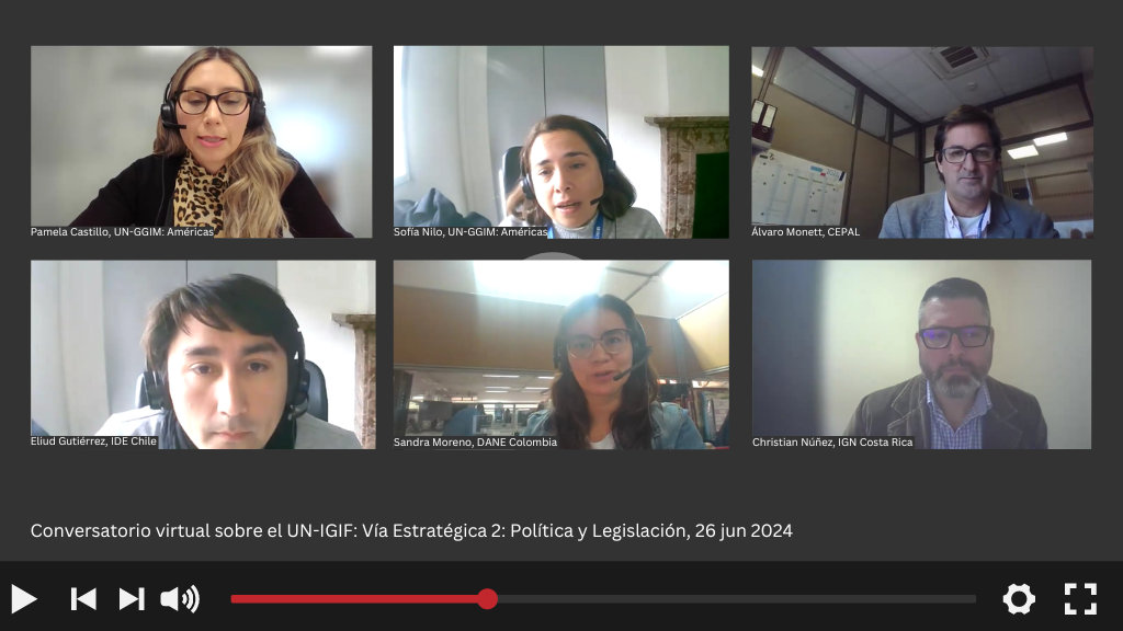
Second Virtual Webinar - Conversations on the Integrated Geospatial Information Framework (UN-IGIF): Strategic Pathway 2: Policy and Legal
The Integrated Geospatial Information Framework (UN-IGIF) was developed in collaboration between the United Nations and the World Bank, with the purpose of providing guidance to countries in…
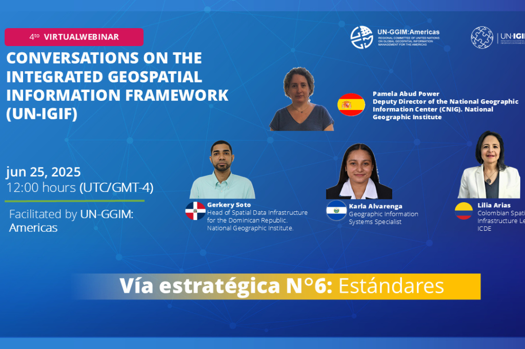
Fourth Virtual Webinar - Conversations on the Integrated Geospatial Information Framework (UN-IGIF): Strategic Pathway 6: Standards/Norms
The Integrated Geospatial Information Framework (UN-IGIF) was developed in collaboration between the United Nations and the World Bank, with the purpose of providing guidance to countries in…
Organizing institution
United Nations Regional Committee on Global Geospatial Information Management for the Americas
- http://www.un-ggim-americas.org/
- telephone
Economic Commission for Latin America and the Caribbean (ECLAC)
- https://www.cepal.org
- 56 222100000