CARIGEO- Session 1: Sharing Knowledge and Best Practices
Topic(s)
Teaser
Organized by CARIGEO. This is a side event of the Tenth Session of UN-GGIM: Americas (17 to 20 October 17 2023).
Event information
Date
17 Oct 2023, 11:00 - 13:00Event type
CARIGEO, is a collaborative initiative that seeks to geospatially empower the countries and territories of the Caribbean to advance the greater use and sharing of geospatial and statistical information to support improved decision making for sustainable national and regional development.
Programme of work
Welcome Remarks
- Simone Lloyd, UN-GGIM: Americas Vocal for the Caribbean
Presentation(s)
Follow up to Saint Lucia Workshop
Objective: identify possible ways to move forward in advancing the national geospatial initiatives in the Caribbean based on the knowledge and tools acquired in the UN-IGIF Workshop in the Caribbean.
Presentation(s)
Sustainable funding for geospatial information management
Objective: To explore innovative and sustainable mechanisms for funding geospatial information development and management
Strengthening Public and Private Sector Partnerships: A Pathway to Sustainable Development
Objective: To delve into the significance, challenges, and potential of public-private partnerships (PPPs) in driving Geospatial Information Management sustainable development and growth.
Caribbean SIDS Capacity Development
The International Federation of Surveyors (FIG) now supports a Capacity Development Network (CDN) for the Americas with foci in the Caribbean and Latin America. During this session, an update will be provided on the proposed Americas CDN Terms of Reference (TOR) as well as an update on planned activities specifically in the Caribbean and Mesoamerica (e.g., the Caribbean Plate).
Presentation(s)
Related content
CARIGEO- Session 2: Moving CARIGEO Ahead
Organized by CARIGEO. This is a side event of the Tenth Session of UN-GGIM: Americas (17 to 20 October 17 2023).
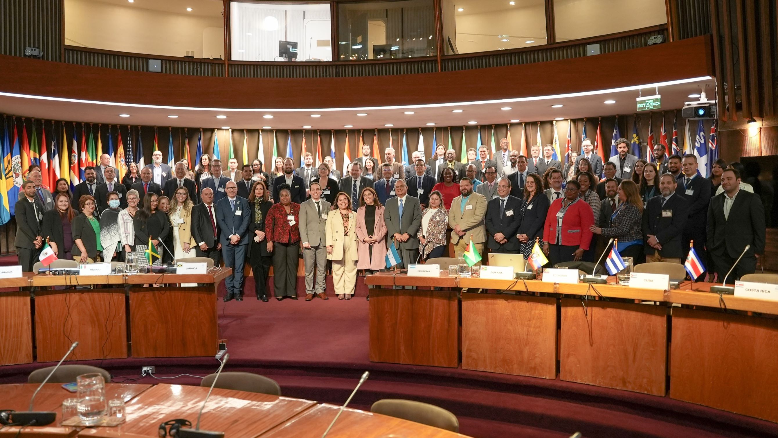
Tenth Session of UN-GGIM: Americas
The tenth Session of the United Nations Regional Committee for Global Geospatial Information Management for the Americas (UN-GGIM: Americas), as well as the side events, took place from 17 to 20…