Countries Reaffirm the Value of Geospatial Information and Ratify Their Commitment to Promoting Its Application to Contribute to the Region’s Sustainable Development
Work area(s)
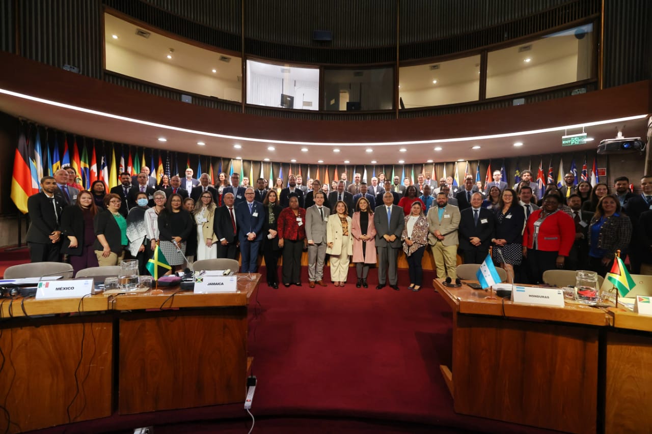
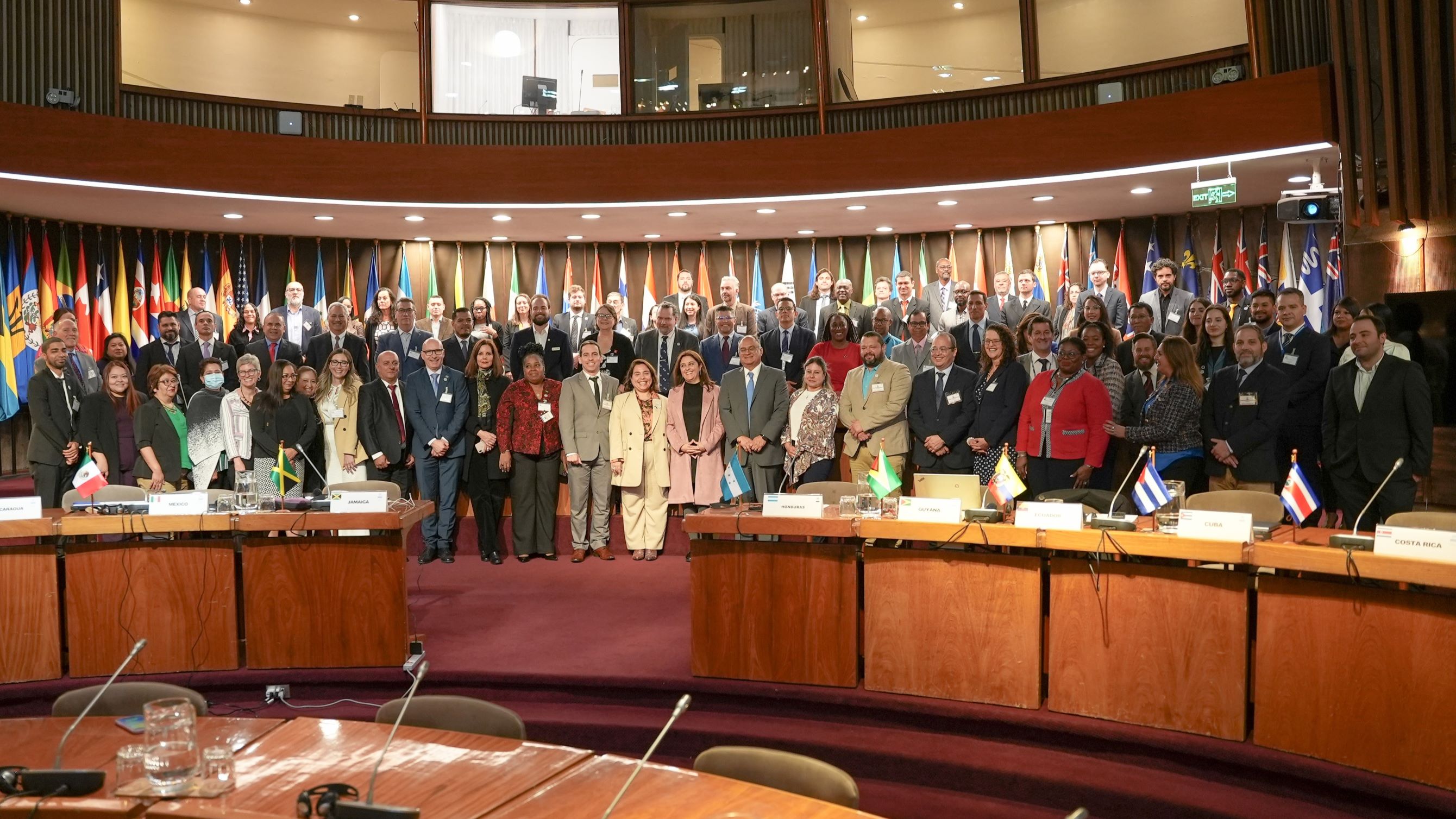
The Tenth Session of the United Nations Regional Committee on Global Geospatial Information Management for the Americas (UN-GGIM: Americas) was inaugurated today at ECLAC’s headquarters in Santiago, Chile.

Representatives of 23 countries reaffirmed today the value of geospatial information and ratified their commitment to promoting its application to contribute to Latin America and the Caribbean’s sustainable development, during the inauguration of the Tenth Session of the United Nations Regional Committee on Global Geospatial Information Management for the Americas (UN-GGIM: Americas), which is being held through Friday, October 20 at the main headquarters of the Economic Commission for Latin America and the Caribbean (ECLAC) in Santiago, Chile.
This event brings together authorities from national geospatial agencies and those in charge of coordinating geospatial data infrastructure in the region’s countries.
The meeting’s central aim is to review progress on the work agenda of the UN-GGIM: Americas, focused on implementation of the United Nations’ global guidelines in the area of integration of statistical and geospatial information, the use of geospatial information to support disaster management, the establishment of a single geodetic reference system for the region, geospatial support for land administration, and the monitoring of progress on national geospatial initiatives. This work agenda is actively contributed to by two thematic teams: the Academic Network and Private Sector Network of UN-GGIM: Americas.
The gathering was inaugurated by Marcela Sandoval, Minister of National Assets of Chile; Paula Narváez, President of the Economic and Social Council (ECOSOC) of the United Nations; Paloma Merodio, Co-chair of the United Nations Committee of Experts on Global Geospatial Information Management (UN-GGIM); Stefan Schweinfest, Director of the United Nations Statistics Division; and Rolando Ocampo, Director of ECLAC’s Statistics Division, on behalf of the regional organization’s Executive Secretary, José Manuel Salazar-Xirinachs.
Also participating in the meeting are the chairs of the UN-GGIM: Asia Pacific and UN-GGIM: Arab States regional committees.
In her opening remarks, the Minister of National Assets of Chile, Marcela Sandoval, stated that UN-GGIM: Americas has contributed enormously to advancing the use and management of geospatial information in the region’s development through collaboration, awareness-raising and the promotion of international standards.
“This is deeply tied to sustainable development and productive development for the countries of the Americas,” she affirmed.
Paula Narváez, President of ECOSOC, meanwhile, stressed the value of having access to reliable geospatial and statistical information, since it underpins management and follow-up of the 17 Sustainable Development Goals (SDGs).
She further highlighted the “significant progress made on promoting geospatial information as an essential resource for social, environmental and economic development in the region.”
Paloma Merodio, Co-Chair of UN-GGIM, pointed up the work, coordination and collaboration of the region’s statistical and geospatial community, and emphasized that the complex scenarios affecting the world must be addressed based on geospatial information in order to make informed decisions.
The Director of the United Nations Statistics Division, Stefan Schweinfest, meanwhile, stressed that this is a very important time at the global level for the statistical and geospatial community. In that regard, he recalled that at the SDG Summit, held on September 18-19 in New York, participants reaffirmed the importance of data for decision-making, as well as the relevance of geospatial information to achieving the SDGs.
Finally, on behalf of ECLAC’s Executive Secretary José Manuel Salazar-Xirinachs, the Director of the Commission’s Statistics Division, Rolando Ocampo, stated that ten years since its creation, “the Regional Committee has been able to consolidate an active, enthusiastic and supportive community of professionals and friends that has given continuity and solidity to regional work, with the crucial aim of supporting countries in the generation and use of geospatial information, for the benefit of public policies and the well-being of their citizens.”
In the framework of the event, two regional platforms were launched to disseminate the Committee’s activities as well as a broad repository of geospatial information resources: the UN-GGIM: Americas website and the Americas Spatial Data Infrastructure website, Americas SDI, both of which are housed within the infrastructure of ECLAC in its role as Technical Secretariat of UN-GGIM: Americas.
Related content

Tenth Session of UN-GGIM: Americas
The tenth Session of the United Nations Regional Committee for Global Geospatial Information Management for the Americas (UN-GGIM: Americas), as well as the side events, took place from 17 to 20…
Type
Country(ies)
- Latin America and the Caribbean