Workshop on Implementation of global guidelines to strengthen geospatial information management in the Caribbean
Work area(s)
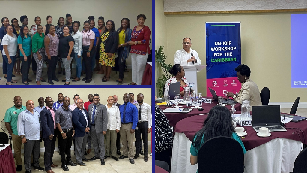
Teaser
The objective of this workshop is training in the use of the United Nations methodology for the development of a national action plan based on the nine strategic pathways of the Integrated Geospatial Information Framework (UN-IGIF).
Event information

Date
19 - 21 Apr 2023, 05:00 - 12:00Event type
Participation
This workshop on the Implementation of the Integrated Geospatial Information Framework (IGIF) in the Caribbean was held in the city of Castries, Saint Lucia, between April 19 and 21, 2023. The workshop provided guidance on the nine strategic pathways of the IGIF and recommended approaches to develop action plans at the national level. In addition, he facilitated roundtables on the national challenges that countries face when applying this framework.
Programme of work
Welcome Remarks
• Sofia Nilo, UN-GGIM: Americas
• Rolando Ocampo, Statistics Division of Economic Commission for Latin America and the Caribbean (ECLAC)
• Didacus Jules, OECS Commission (remotely)
• Halim Brizan, CARICOM Regional Statistical Program
• Suzette Jean, Deputy Permanent Secretary, Ministry of Infrastructure, Ports, Energy and Labour of Saint Lucia
The role of technologies in geospatial information management
Presentation(s)
The role of technologies in geospatial information management
Geospatial information supporting resilience in the Caribbean Region
Presentation(s)
Geospatial information supporting resilience in the Caribbean Region
Global perspectives for the implementation of the UN-IGIF
Presentation(s)
Roundtable on the national challenges implementing the UN-IGIF
» Moderador / Moderator: Bheshem Ramlal, University of the West Indies, Valrie Grant, Private Sector Network - UN-GGIM: Americas and Simone Lloyd, National Spatial Data Management Branch (NSDMB) of Jamaica
▪ Country representatives
▪ Academy representatives
▪ Private Sector representatives
UN-IGIF implementation for National Spatial Data Infrastructure (NSDI) Policy of Saint Lucia
Presentation(s)
UN-IGIF implementation for National Spatial Data Infrastructure (NSDI) Policy of Saint Lucia
Overview of the workshop objectives
• Gabriela García Seco, INEGI, Mexico
Presentation on Component 1: Planning and preparing
• Paul Riley, US Census Bureau
The goals of this session are to provide an understanding of the steps to complete the Planning and Preparing phase of the UN’s suggested approach to implementing the UN-IGIF, a shared understanding of the importance of the UN-IGIF, identify and engage with key stakeholders, and ideas to assist with the development of a plan of action for implementing the UN-IGIF and developing a country-level action plan.
Breakout sessions
1) Breakout session on task 2 of component 1 “Identifying and analyzing national geospatial stakeholders,” based on the preworkshop assignment.
The goals of the breakout session are to build upon the pre-work of the member states to identify key stakeholders and to suggest ideas on how to categorize those stakeholders based on the level of interest and influence they have with geospatial information management within their respective countries, and to consider how to communicate with these stakeholders moving forward.
2) Plenary on breakout session on task 2 of component 1
» Moderador / Moderator: Paul Riley
Presentation on component 2: Assessing and Analyzing (first part)
• Álvaro Monett, ECLAC
The goals of this session are to provide an understanding of the first three steps of Assessing and Analyzing phase of the UN’s suggested approach to implementing the UN-IGIF. These provide guidance and tools to identify the gaps to achieve the UN-IGIF goals, the desired future situation considering the strategic priorities of the country; to gather detailed information about the current geospatial information management ecosystem in the country and determine the internal and external factors having an impact on geospatial information management.
Breakout sessions
1) Breakout session on task 6 of component 2 “Environmental Scanning and Analysis,” based on the preworkshop assignment.
The goals of the breakout session are to build upon the pre-work of the member states to elaborate a SWOT analysis to identify the internal strengths that the governments have for the management of geospatial information, the weaknesses that may be a barrier to consolidate the national geospatial initiative, the opportunities that the government can to offer to industry, commercial and community sectors through an efficient management of geospatial information, and the external factors that could place the implementation of integrated geospatial information management at risk.
2) Plenary on breakout on task 6 of component 2
» Moderador / Moderator: Álvaro Monett
Presentation on component 2: Assessing and Analyzing (second part)
• Valrie Grant, Private Sector Network - UN-GGIM: Americas
The goals of this session are to provide an understanding of task 7 and 8 of Assessing and Analyzing phase of the UN’s suggested approach to implementing the UN-IGIF. These provide guidance and tools for the Planning, preparation and implementation of the stakeholder engagement workshop. It also highlights the Strategic Alignment Tool to assist countries in aligning geospatial information management to national priorities.
Breakout sessions
1) Breakout session on task 8 of component 2 “Strategic Alignment,” based on the preworkshop assignment
The goals of the breakout session are to build upon the pre-work of the member states to identify their country’s strategic priorities. Participants will list the strategic drivers that will benefit from having strengthened geospatial information management. They will further determine what activities are required to facilitate transformational change and prioritizing these initiatives.
2) Plenary on breakout session on task 8 of component 2
» Moderador / Moderator: Valrie Grant
Strengthening geospatial capacities in the Caribbean project
Presentation(s)
Strengthening geospatial capacities in the Caribbean project
Presentation on component 2: Assessment and Analyzing (third part)
• Simone Lloyd, National Spatial Data Management Branch (NSDMB) of Jamaica
The goals of this session are to provide an understanding of tasks 9, 10 and 11 of Assessing and Analyzing phase of the UN’s suggested approach to implementing the UN-IGIF. These provide guidance and tools to establish their own vision, mission and goals, that may form part of a country’s geospatial strategy; to identify the major activities required to address the gaps in geospatial capabilities; and make decisions about how to address these gaps, the priority of addressing them, and how to proceed with resolving the gaps through actions.
Breakout sessions
1) Breakout session on task 9 of component 2 “Vision, Mission and Goals,” based on the preworkshop assignment.
The goals of the breakout session are to build upon the pre-work of the member states to define their own vision, mission, and goals. Participants will have to elaborate statements for these three elements, taking into consideration their geospatial information strategies and national priorities. It worth to clarify that goals need to be realistic, manageable, achievable, and appropriate to a country’s current situation.
2) Plenary on breakout on task 9 of component 2
» Moderador / Moderator: Simone Lloyd
Capstone Activity
This activity will serve as a hands-on exercise in applying the knowledge gained from the material previously delivered during the workshop. Templates and a sample plan of action will be provided to facilitate the drafting of plans of action by country representatives. Participants are expected to present their draft plans. Several facilitators will be present to provide guidance, support, and feedback during the activity.
Presentation(s)
Next steps
• Valrie Grant, Private Sector Network - UN-GGIM: Americas
Closure
• Rolando Ocampo, ECLAC Statistics Division
• Halim Brizan, CARICOM Regional Statistical Program
• Sherma Beroo, OECS Commission
• Sherma Small, Central Statistical Office, Government of Saint Lucia
Related content
Importancia de la información geoespacial como herramienta de desarrollo para el Caribe
La información geoespacial es un componente crítico de la infraestructura nacional y de la economía del conocimiento; un modelo de lo que sucede, dónde sucede, y los medios para integrar una amplia…
Attachment(s)
Meeting documents
Organizing institution
Economic Commission for Latin America and the Caribbean (ECLAC)
- https://www.cepal.org
- 56 222100000
United Nations Regional Committee on Global Geospatial Information Management for the Americas
- http://www.un-ggim-americas.org/
- telephone
Caribbean Geospatial Development Initiative (CARIGEO)
- https://geo.cepal.org/en/assets/modulos/proyectos.html?proyecto=5
- telephone
Organisation of Eastern Caribbean States (OECS)
- https://www.oecs.org/en/
- +1 (758) 455-6327