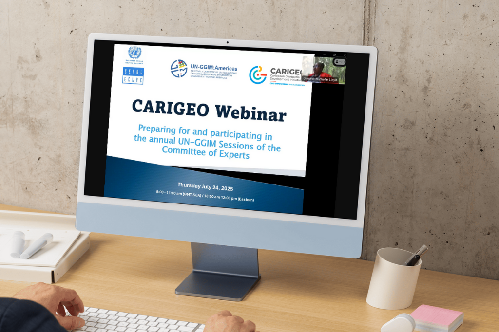
Webinar Preparing for and participating in the annual UN-GGIM Sessions of the Committee of Experts
Work area(s)
Topic(s)
Teaser
This CARIGEO webinar aims to raise awareness about the importance of formal participation in United Nations meetings and to strengthen the advocacy skills of geospatial experts so they can effectively represent and communicate their countries' priorities and needs, especially at UN-GGIM regional and global meetings.
Event information
Date
24 Jul 2025, 10:00 - 12:00Event type
Organized by the UN-GGIM: Americas’ CARIGEO Steering Committee, with the technical support of the Secretariat of the UN-GGIM Committee of Experts and the Economic Commission for Latin America and the Caribbean (ECLAC).
The mapping, geospatial information management or relevant geospatial organizations of many Member States and territories in the Americas, particularly those in the Caribbean subregion, are often small, under resourced entities, with limited staff, who are responsible for multiple portfolios. Engagement and contribution of their technical representatives at the regional and global levels (Regional Committee of UN-GGIM Americas and the Committee of Experts on UN-GGIM) is often a challenge, given national work demands and priorities. It is also perceived that the voices of Small Island Developing States (SIDS) need to be amplified and recognized at regional and global forums. As such, the question may be asked why should they participate?
These challenges are further amplified by the fluctuating levels of participation at regional and annual UN-GGIM sessions. Further, to date, the Caribbean Geospatial Development Initiative (CARIGEO) initiative, a regional geospatial mechanism designed by Caribbean representatives for the Caribbean, has had limited uptake from mapping and geospatial entities.
This webinar is an intervention to equip national technical representatives to be able to navigate and benefit from sitting at the table and not be on the menu of the Committee of Experts on Global Geospatial Information Management (UN-GGIM). The objective therefore is to identify strategies by which Member States and their technical representatives can be encouraged to strengthen their participation and engagement at the sessions and work of the Committee of Experts at the regional and global levels.
Objective
To raise awareness on the formality of participating in United Nations meetings and to strengthen the advocacy skills of geospatial experts to effectively represent and communicate their national positions and requirements specifically at UN-GGIM regional and global meetings.
Target Audience
Technical Representatives of Member States from the Caribbean who participate in regional and global UN-GGIM annual sessions.
Schedule
Agenda
1. Welcome Remarks & Greetings
- Simone Lloyd, GISP, UN-GGIM Americas Vocal for the Caribbean and Webinar Moderator
- Sofía Nilo Crisóstomo, President, UN-GGIM Américas
- Alvaro Monett, Technical Adviser, ECLAC
2. The Benefits of participating in the regional and global inter-governmental processes, particularly on global geospatial information management
Michelle St. Clair, Land Surveyor, Lands and Surveys Department, Barbados
3. Preparing for and participating in the annual session of the Committee of Experts
Cecille Blake, UN Statistics Division, UN-GGIM Secretariat
4. National preparatory activities
- Cecille Blake, UN Statistics Division, UN-GGIM Secretariat
- Marcathian Alexander, Department of Physical Development and Urban Renewal, Government of St. Lucia
- Simone Lloyd, GISP, National Spatial Data Management Branch, Jamaica
- Paul Riley, Geography Division, U.S Census Bureau, USA
5. Overview of Reports on the Agenda
Cecille Blake, UN Statistics Division, UN-GGIM Secretariat
6. Open discussion and Concluding Remarks
Simone Lloyd, GISP, UN-GGIM Americas Vocal for the Caribbean and Webinar Moderator