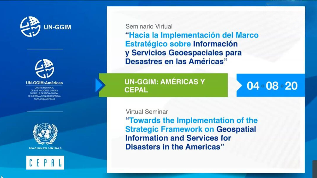
Virtual seminar towards the implementation of the Strategic Framework on Geospatial Information and Services for Disasters in the Americas
Work area(s)
Teaser
This webinar attempts to convene national representatives from diverse sectors that contribute in the geospatial response to disasters – national geospatial agencies, national statistics offices, risk and disaster management organizations, and many other representatives from the public, academic and private sectors related to the topic.
Event information
Date
4 Aug 2020, 07:00 - 09:00Event type
The main objectives of this regional encounter are to:
- Disseminate the Strategic Framework for Disasters, including its five Priorities for Action, to a wide spectrum of institutional actors linked to the management of geospatial and statistical information, together with organizations in charge of risk reduction and disaster management at the national level.
- Sharing national good practices related to the five Priorities for Action of the Strategic Framework for Disasters, referring to governance, capacity building, data management, use of technology platforms and resource mobilization.
- Provide an overview on how the IGIF supports the Strategic Framework for Disasters. In particular, it will be demonstrated how the five Priorities for Action of the Strategic Framework for Disasters are linked to, and enabled by, the nine Strategic Pathways of the IGIF.
- Provide a space for regional discussion on the way to move forward in the implementation of the Strategic Framework for Disasters and its five Priorities of Action at country level, with the support of the IGIF Implementation Guide – the detailed Guide for implementing the nine Strategic Pathways of the IGIF.
- Encourage member states to complete the online Assessment tool developed for the Strategic Framework for Disasters, towards determining their level of readiness and the identification of areas where support is needed.
Programme of work
Bienvenida / Welcome
Global perspectives
» Modera / Moderate: Cecille Blake, Secretaría UN-GGIM / UN-GGIM Secretariat
Presentation(s)
El Marco Estratégico en Información y Servicios Geoespaciales para Desastres
Vinculando el Marco Estratégico en Información y Servicios Geoespaciales para Desastres con el IGIF
National experiences
» Modera / Moderate: Nouri Sabo, Copresidente del Grupo de Trabajo en Información Geoespacial para Desastres de UN-GGIM Américas / Co-Chair UN-GGIM: Americas Working Group on Geospatial Information for Disasters
Presentation(s)
IGIF Implementation Guide: Enabling the implementation of the Strategic Framework on Disasters at the country level
Presentation(s)
Final discussion
» Modera / Moderate: Simone Lloyd, UN-GGIM / Alvaro Monett, Asesor Regional Geoespacial, CEPAL / Regional Geospatial Advisor, ECLAC
Closure
▪ Paloma Merodio Gómez, Presidenta de UN-GGIM: Américas / President, UN-GGIM: Americas
▪ Rolando Ocampo, Director de la División de Estadísticas de la CEPAL / Director, ECLAC Statistics Division
Organizing institution
United Nations Committee of Experts on Global Geospatial Information Management (UN-GGIM)
- http://ggim.un.org/
- 12129639851
United Nations Regional Committee on Global Geospatial Information Management for the Americas
- http://www.un-ggim-americas.org/
- telephone
Economic Commission for Latin America and the Caribbean (ECLAC)
- https://www.cepal.org
- 56 222100000