ECLAC Study Classifies Colombia’s Provinces According to their Rurality and Connections
Topic(s)
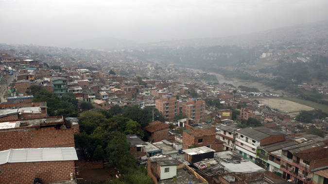
The majority of the country’s provinces are rural, while 25% fall into an intermediate category and 9% are urban, the document indicates.
A new study by the Economic Commission for Latin America and the Caribbean (ECLAC) proposes a methodology for classifying Colombia’s provinces according to their degree of urbanization or rurality, and their integration with markets and main hubs, since grouping these territorial units into homogeneous categories can contribute to improving the efficiency of public policies aimed at rural development.
The document Territorial Configuration of Colombia’s Provinces: Rurality and Networks, produced by ECLAC’s Office in Bogota, analyzes the characteristics of Colombian provinces along with the proximity relations and territorial connections, networks and subnetworks among them.
The provinces are intermediate units between departments (32) and municipalities (1,122). They do not currently have a political-administrative status, but they are used for zoning and for managing the regional public administration. This intermediate scale allows for identifying more aggregate dynamics than those of municipalities and also differentiated patterns within departments, so it better reflects the interdependencies between natural resources, the population and cohesion in response to changes in the economy, the study indicates.
Far from defining rural territories as the residual area left over by urban ones, this document establishes various categories of rurality to show the diversity of demographic patterns, spatial distributions and proximity relations and territorial connections with the main cities. This configuration influences the trajectories of the subregions’ local and rural development.
The study proposes a Demographic Urbanization Index, which is calculated using three indicators from each province: population density, the proportion of its population in municipal seats, and the size of the population in the biggest seat (in terms of number of inhabitants).
This index, combined with driving times along the main roadway to the seats of urban provinces (less than two hours, between two and four hours, or more than four hours), define three main categories of provinces, with a total of eight: urban, intermediate (peri-urban, near and distant) and rural (peri-urban, near-urban, near-intermediate, and distant or isolated).
According to this classification, two-thirds (65.5%) of the provinces are rural. They make up 80% of the national territory, and one-fourth of the national population resides there. The intermediate-level areas represent one-fourth of all provinces and of the national population, covering 16% of the territory; urban areas make up 9% of the provinces and, with 3% of the nation’s land, are home to half of the total population.
Related content
Subregional headquarter(s) and office(s)
Type
Country(ies)
-
 Colombia
Related project(s)

Contact
Public Information Unit
- prensa@cepal.org
- (56 2) 2210 2040