Workshop on the integration and dissemination of statistical and geospatial information “Better statistics and indicators on climate change in Latin America and the Caribbean”
Work area(s)
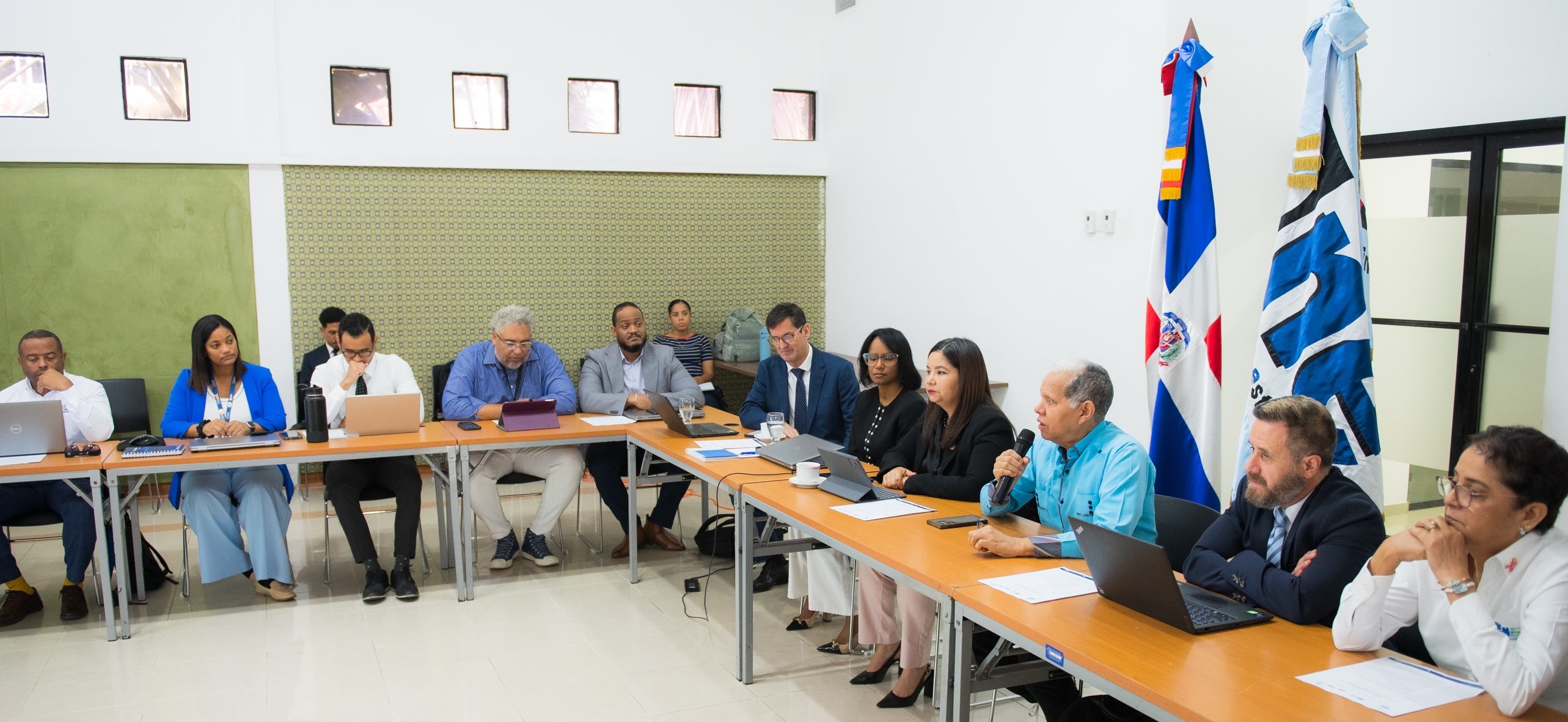
This activity was part of the project “Better statistics and indicators on climate change in Latin America and the Caribbean”, organizing its agenda into three days with specific and complementary purposes.
During the first day, the discussion focused on the visualization of environmental indicators on geospatial platforms, with the participation of experts from the Environmental Statistics and Geostatistics teams of the ONE.
Here, the progress of the project on statistics and indicators of climate change in the Dominican Republic was reviewed; the mechanisms for disseminating environmental and climate change indicators implemented by the ONE were presented; and a proposal from ECLAC for the organization of geospatial and statistical data content on climate change in the ONE data portal was analyzed.
Subsequently, and to conclude that first day, the technical teams of the ONE and ECLAC reviewed the statistical indicators and geospatial datasets related to climate change, published and to be published on the ONE data portal, along with their methodological sheets and geographical metadata.
The second day of the workshop focused on reviewing the progress in the processes of integrating statistical and geospatial information, based on the cooperation agreement signed between the ONE and the IGN-JJHM and a roadmap developed jointly, within the framework of a technical assistance project of the United Nations Development Account that had the Dominican Republic as target country.
At this meeting, attended by the institutions participating in the National Statistical System, along with representatives from the ONE and the IGN-JJHM, the central aspects of the cooperation agreement between the ONE and the IGN-JJHM were reviewed; the updated roadmap for the integration of statistical and geospatial information was presented and discussed; and progress in the generation of fundamental geospatial data to support the georeferencing and geocoding of statistical data was shared.
In the afternoon session of this second day, the ONE geostatistical team coordinated a practical activity for the collection of existing datasets in the institutions that are part of the national statistical system, including those already geocoded or georeferenced and others that may be, in order to expand the spectrum of sectoral statistical data that can be disseminated through the ONE geoportal.
Finally, during the third day of workshops, the ONE technology team, with the assistance of the ECLAC expert, worked on implementing the update to the web applications that support the ONE data portal. Additionally, new configurations were enabled for the statistical data manager and functionalities for running geoprocessing in the ONE data portal viewer, with an emphasis on climate change information.
Día 1 - 20 de octubre de 2026: Visualización de indicadores ambientales en plataformas geoespaciales
|
|
|
09:00 – 09:30 |
Presentación y bienvenida. Saludo de autoridades |
|
|
Oficina Nacional de Estadística de la República Dominicana |
|
|
CEPAL.
|
|
09:30 – 10:00 |
|
|
10:00 – 10:30 |
|
|
10:30 –11:00 |
Pausa.
|
|
11:00 – 12:00 |
Propuesta de organización de contenidos de datos geoespaciales y estadísticos sobre cambio climático en el portal de datos de la ONE: áreas temáticas, dashboards, geoportal, otros componentes. Pauline Stockins, Unidad de Innovación y Difusión Estadística, CEPAL (presentación remota).
|
|
12:00 – 13:30 |
Almuerzo.
|
|
13:30 – 15:00 |
|
|
15:00 – 15:30 |
Pausa.
|
|
15:30 – 16:30 |
Desagregación subnacional de los indicadores sobre cambio climático. Procesamiento de productos satelitales y fuentes alternativas de datos. Horacio Castellaro. Especialista en Tecnologías de Información Geoespacial, CEPAL. |
|
|
|
Día 2 – 21 de octubre de 2026: Taller Integración de Información Estadística y Geoespacial
|
|
|
09:00 – 09:30 |
Registro de participantes. |
|
09:30 – 09:45 |
Palabras de apertura institucional. |
|
|
Bolívar Troncoso, Director IGN-JJHM. |
|
|
Daniel Taccari, División de Estadísticas CEPAL.
|
|
09:45 – 10:15 |
Presentación Marco Global Estadístico y Geoespacial. Álvaro Monett, División de Estadísticas CEPAL.
|
|
10:15 – 10:30
|
Aspectos centrales del convenio de cooperación entre la ONE y el IGN-JJHM. Cenia Correa/Grissell Arias.
|
|
10:30 – 10:45 |
|
|
10:45 – 11:15 |
Pausa.
|
|
11:15 – 11:35 |
|
|
11:45– 12:00 |
|
|
12:00 – 13:00 |
Almuerzo.
|
|
13:00 – 14:00 |
Creación de las Mesas de trabajo para el levantamiento de las informaciones. Yeffry Mejía, Experto Analista de Sistema de Información Geográfica.
|
|
14:00– 15:00 |
Reportes de mesas de trabajo (continuación).
|
|
15:00 – 15:15 |
Clausura del taller.
|
Día 3 – 22 de octubre de 2026: Despliegue de nuevas funcionalidades del geoportal
|
|
|
09:00 – 10:00 |
Reunión de trabajo en el sector de Informática. Nuevos puntos focales para temas informáticos de la plataforma
|
|
10:00 – 11:00 |
Implementación de actualizaciones de GeoNode, Django y aplicaciones Web que brindan soporte al portal de datos de la ONE.
|
|
11:00 – 11:30 |
Pausa.
|
|
11:30 – 12:00 |
Continuación de implementación de actualizaciones de GeoNode, Django y aplicaciones Web que brindan soporte al portal de datos de la ONE.
|
|
12:30 – 14:00 |
Almuerzo.
|
|
14:00 – 15:00 |
Nuevas configuraciones del gestor de datos estadísticos y del geoportal y funcionalidades de geoproceso en el visualizador del portal de datos de la ONE, con énfasis en la información sobre cambio climático.
|
|
15:00 – 15:30 |
Pausa.
|
|
15:30 – 16:30
|
Establecimiento de hoja de ruta para los próximos meses y cierre del taller. |