Seminar on the Global Statistical and Geospatial Framework - Principle 2
Work area(s)
Teaser
The objective of this virtual seminar is to provide Member States and interested parties with the conceptual foundations related to the five principles of the United Nations Global Statistical and Geospatial Framework, to enhance the use of integrated statistical and geospatial information.
Event information

Date
2 Apr 2024, 07:00 - 08:00Event type
The Global Statistical Geospatial Framework (GSGF) enables a range of data to be integrated from both statistical and geospatial communities and, through the application of its five Principles and supporting key elements, permits the production of harmonized and standardized geospatially enabled statistical data. The resulting data can then be integrated with statistical, geospatial, and other information to inform and facilitate data-driven and evidence-based decision making to support local, sub-national, national, regional, and global development priorities and agendas.
Principle 2: Geocoded unit record data in a data management environment
Principle 2 supports the process of linking or storing high precision geographic references (i.e. geocodes coordinates, small geographic area codes, or linked data identifiers) to each microdata/statistical unit record. This is often referred to as geospatially enabling data, and must occur within a secure, standards based data management environment. This process applies the address coding infrastructure and fundamental data from management environment. This process applies the address coding infrastructure and fundamental data from Principle 1.
The goal of Principle 2 is to allow all statistical unit records to be linked to a location, wherever it is possible to do so. This will then enable integration of data from a wide variety of sources, such as other socioeconomic statistical data, administrative data, and geospatial information about the built and natural environment. The incorporation of these data, using geospatial processing, can then deliver new, geospatially enabled statistical variables for analysis. Principle 2 also enables flexible application of any geographic content when preparing data for release and analysis. This includes supporting future aggregation of statistical data into new geographical units or adapting to changes to existing geographies over time.
Seminar objectives:
- Provide guidance to Member States and stakeholders, on the implementation of the resulting Global Statistical and Geospatial Framework - (GSGF).
- To strengthen interrelationships with relevant groups in the statistical and geospatial communities.
- Provide Member State representatives responsible for geostatistical integration the opportunity to learn about challenges around statistical and geospatial integration and establish work plans that identify and promote solutions in a participatory and inclusive manner.
- Implement and operationalize in the Member States, the Global Statistical and Geospatial Framework -GSGF, as a tool to obtain geospatially enabled statistical data for the 2030 Agenda, the 2020 Population Census Round and issues related to climate change and disaster resilience, among others.
Programme of work
GSGF - Principle 2: Geocoded unit record data in a data management environment
Welcome remarks by Sofía Nilo, President of UN-GGIM: Americas
Session 1: General information about GSGF Principle 2
▪ Joshua J. Coutts, Chief of the National and International Engagement Branch, United States Census Bureau
▪ Claudio Stenner, Director of Geosciences, Brazilian Institute of Geography and Statistics
Session 2: Discussion with countries from the Americas region
Moderator: Joshua J. Coutts, United States Census Bureau
▪ Costa Rica: Luis Carlos Paniagua Carvajal, Coordinator of the Cartography Unit, National Institute of Statistics and Censuses
▪ Colombia: Sandra Liliana Moreno, Specialized Professional, Geostatistics Directorate, DANE
▪ Saint Lucia: Sherma Small, Mapping Supervisor, Central Statistics Office
Closing
▪ Rolando Ocampo, Director of Statistics Division of ECLAC
Related content

Seminario sobre el Marco Global Estadístico Geoespacial - Principio 1
El objetivo de este seminario virtual es proporcionar a los Estados Miembros y las partes interesadas, las bases conceptuales relacionadas con los cinco principios del Marco Global Estadístico…
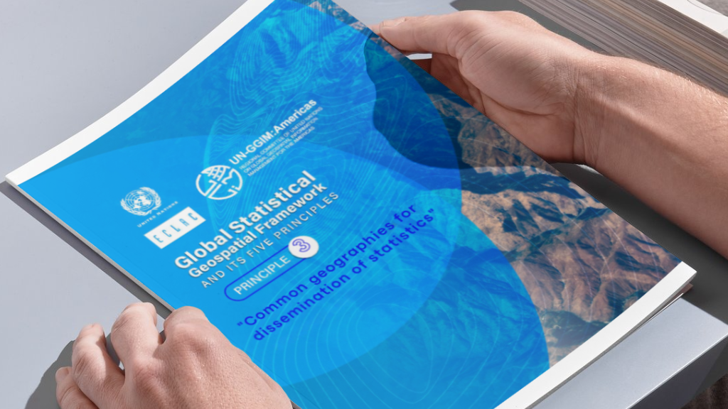
Seminar on the Global Statistical and Geospatial Framework - Principle 3
The objective of this virtual seminar is to provide Member States and interested parties with the conceptual foundations related to the five principles of the United Nations Global Statistical and…

Seminar on the Global Statistical and Geospatial Framework - Principle 4
The objective of this virtual seminar is to provide Member States and interested parties with the conceptual foundations related to the five principles of the United Nations Global Statistical and…
Attachment(s)
Organizing institution
Economic Commission for Latin America and the Caribbean (ECLAC)
- https://www.cepal.org
- 56 222100000
United Nations Regional Committee on Global Geospatial Information Management for the Americas
- http://www.un-ggim-americas.org/
- telephone
Contact
Álvaro Monett
- alvaro.monett@cepal.org
- (56-2) 2210 2197