Caribbean Geospatial Workshop: The GIS process and geospatial analysis
Work area(s)
Topic(s)
Teaser
This workshop, facilitated by Esri experts and funded by the Kellogg Foundation, brought together technical and management staff from Caribbean land, statistical and mapping organizations to strengthen regional capacities in geospatial information management.
Event information
Date
7 - 08 Oct 2019, 09:00 - 18:00Event type
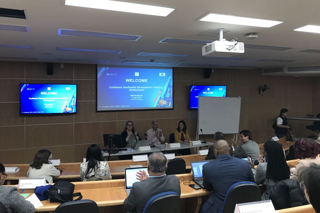
The Caribbean Geospatial Workshop: The GIS process and geospatial analysis was held from October 7 to 8, 2019 at the Institute of Geography of the National Autonomous University of Mexico (UNAM), in Mexico City.
The workshop was jointly convened by the CARIGEO initiative and its main partners, including UN-GGIM: Americas, the Economic Commission for Latin America and the Caribbean (ECLAC), and the local host, INEGI (National Institute of Statistics and Geography of Mexico).
Objective:
The main purpose of the workshop was to strengthen the capacity of Caribbean Member States and Territories in the use and exchange of geospatial and statistical information to support decision-making in sustainable development and disaster management.
Attendees included representatives from CARICOM, INEGI, UNAM, and other key stakeholders from across the region, facilitating direct communication with Caribbean member states and understanding their specific geospatial needs.
This workshop was part of CARIGEO's strategy to encourage greater communication and support the implementation of national workshops and global guidelines such as the Integrated Geospatial Information Framework (IGIF) and the Global Statistical Geospatial Framework (GSGF) in the Caribbean.
Main Topics:
- Data Infrastructure: Discussions on the current state of IT and data infrastructure, including services, systems, security and capacity needs.
- Real World Applications: Apply authoritative data to problems such as economic development, disaster planning and management, and the Sustainable Development Goals.
- Governance and Change: Address governance issues, organizational and legal frameworks, and change management necessary to positively impact the modernization of workflows.
Featured Results:
The workshop facilitated a rich discussion between national statistical offices and cartographic institutes for the first time, fostering greater communication and understanding of the geospatial needs of the Caribbean.
Tactical and strategic next steps were agreed, including creating committees and fostering partnerships to build an active community of spatial data producers and users in the region.
Presentations:
- Caribbean GeoSpatial Development Initiative WORKSHOP
- Country Perspectives: Status of GIS within Jamaica


