Integración entre la estadística y la geografía debe contribuir a implementar la Agenda 2030
Work area(s)
The organization’s Executive Secretary, Alicia Bárcena, participated in the Fifth High Level Forum on United Nations Global Geospatial Information Management (UN-GGIM).
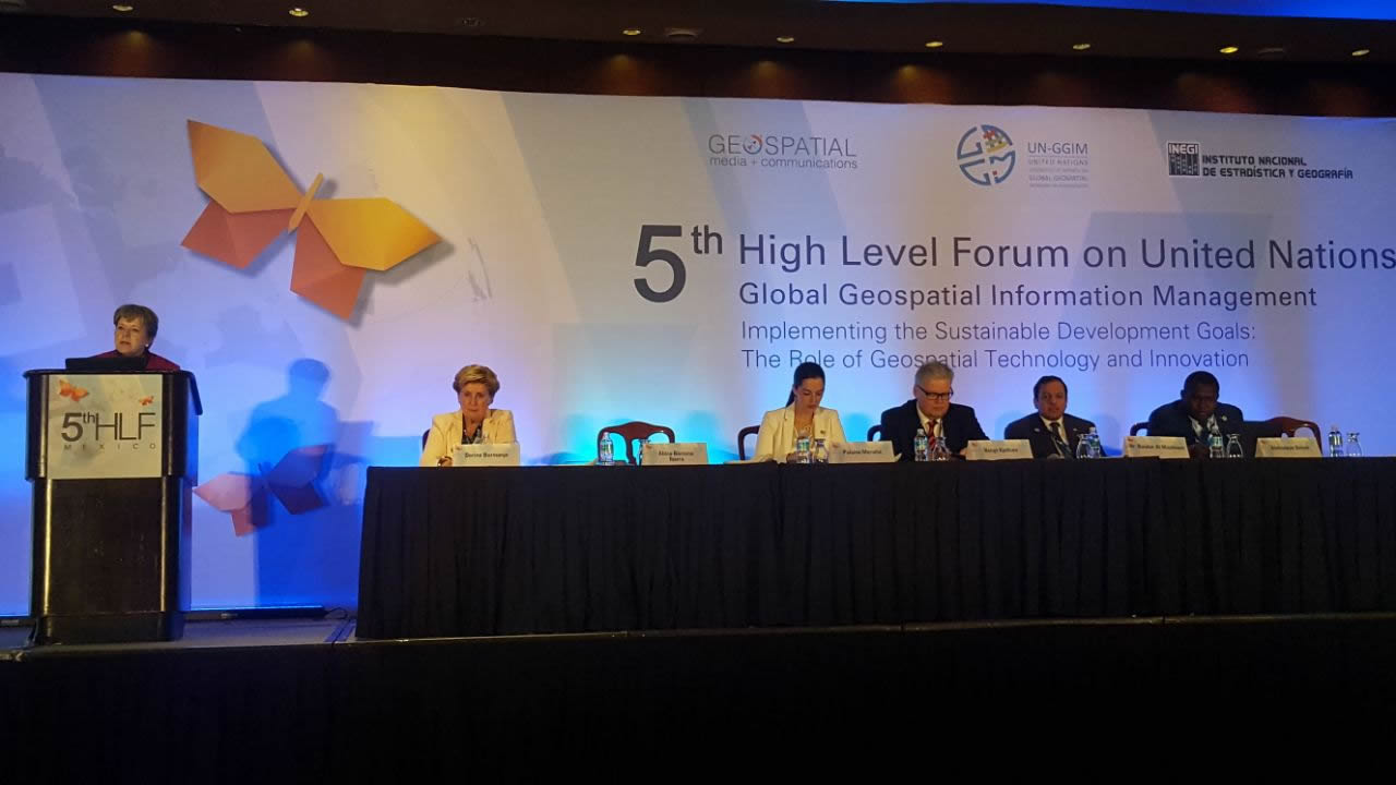
Geospatial information must contribute to the design of public policies that reverse the concentration of wealth and guarantee the basic needs of the population, asserted Alicia Bárcena, Executive Secretary of the Economic Commission for Latin America and the Caribbean (ECLAC) yesterday at the Fifth High Level Forum on United Nations Global Geospatial Information Management (UN-GGIM), being held through Thursday, November 30 in Mexico City.
During her presentation on the implementation of the Sustainable Development Goals, the importance of geography and the “where” of things, Alicia Bárcena affirmed that the view from the territory makes a difference in that it allows us to disaggregate knowledge of reality beyond just the averages.
She added that this vantage point lets us recognize situations of inequity in terms of access and distribution within the territory, and to differentiate and adjust solutions to the same problem in different geographic contexts.
“Territorial analysis is essential for guiding decisions and public policy aimed at promoting development equitably,” said ECLAC’s Executive Secretary at the Forum entitled “Implementing the Sustainable Development Goals: The Role of Geospatial Technology and Innovation.”
She added that territory and geography are highly relevant because geographic averages hide inequality, and because better and greater comprehension of our territory allows for the design of welfare indicators with an integrated focus.
She underlined that “the SDGs require geographic interpretation at the regional, national and sub-national levels” and underscored that “georeferencing can contribute to the implementation of the 2030 Agenda.”
The senior representative of the United Nations regional organization specified that geography is essential for designing a map of the region’s natural resources and calculating its reserves.
She reiterated that Latin America and the Caribbean is the region with the second-highest proven oil reserves (after the Middle East). She added that the region is home to 31% of biofuel production, as well as a third of the planet’s freshwater reserves and 15% of its arable land.
Accordingly, she called on the countries of the region to improve their use of geography – the “where” of things – in the production and monitoring of sustainable development indicators.
In order to achieve this, she pointed out, countries must establish national frameworks to integrate statistical and geospatial information; implement national plans for generating such information considering the requirements of the 2030 Agenda; seek support in cross-cutting organizational structures that foster the coordination of geospatial information at the national level; promote collaborative work initiatives between government, academia and civil society, and strengthen capacities in the use of technology and standardized methods for geospatial information.
The Fifth High Level Forum on United Nations Global Geospatial Information Management is attended by representatives from 73 countries over five continents, from both public and private sectors, academia and members of geospatial societies.
The Forum recognizes the need for profound dialogue about geospatial technology, innovation and the importance of public-private partnerships for the development of the SDGs.
Related content
Integrating Geography and Statistics to Assist Public Policies for SDG Implementation
Presentation by Alicia Bárcena, ECLAC Executive Secretary, in the 5th High Level Forum on United Nations Global Geospatial Information Management.
Country(ies)
- Latin America and the Caribbean
Contact
Public Information Unit
- prensa@cepal.org
- (56 2) 2210 2040