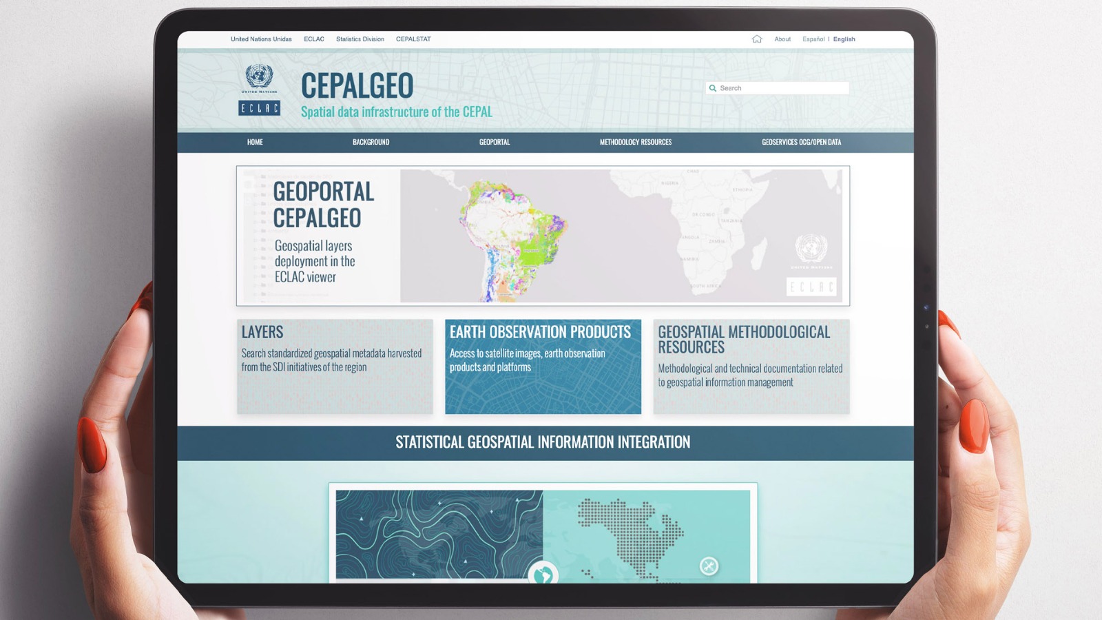
CEPALGEO ECLAC Spatial Data Infrastructure of ECLAC
The Economic Commission for Latin America and the Caribbean (ECLAC) is increasingly and steadily using geospatial data to support the production of information and knowledge in its substantive areas. Similarly, and following the global guidelines of the United Nations regarding the integration of geospatial statistical information, new functionalities have been added to the CEPALSTAT platform to link statistical data from various sources with a location on the territory, in order to later represent and disseminate them as layers of geospatial information.
With the aim of maximizing the use and benefit of this information by the institution as a whole, an integrated and collaborative management model has been installed at ECLAC, in the logic of a corporate geospatial data infrastructure for the organization, which incorporates standardized procedures for the maintenance, integration, analysis and use of geospatial data.
This collaborative work model finds its material expression in the CEPAL GEO platform, made up of a set of technological tools -catalogues, viewers and geospatial services- that allow remote discovery and access to geospatial information products generated internally and also from from external sources. To achieve this purpose, ECLAC GEO uses standards and protocols that facilitate the exchange, integration and interoperability within a broad regional and global data ecosystem.
Presentation video of CEPALGEO
Related content

New CEPALGEO Platform Seeks to Strengthen Geospatial Knowledge in Latin America and the Caribbean
The portal presents geographic viewers, geoservices and links to ECLAC’s projects involving a territorial perspective on various social, economic and environmental issues.