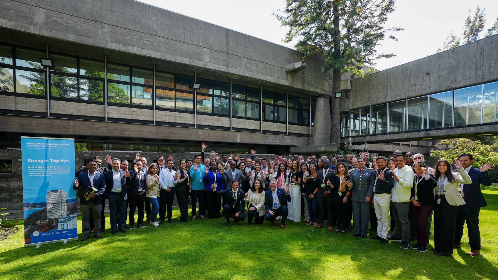
Geodesy Capacity Development Workshop for the Americas on Transitioning to a Modern Geospatial Reference System
Work area(s)
Topic(s)
Teaser
The objective of this workshop is to strengthen regional capacities for the transition to a modern geospatial reference system (GRS), through technical sessions, practical training, exchange of experiences and development of communication and governance strategies, with a view to supporting the Sustainable Development Goals.
Event information
Date
3 - 07 Nov 2025, 09:00 - 17:00Event type
Participation
The Workshop for the Americas is jointly organized by the United Nations World Geodetic Centre of Excellence (UN-GGCE) and the Statistics Division of the Department of Economic and Social Affairs, with the collaboration of the United Nations Economic Commission for Latin America and the Caribbean (ECLAC).
The UN-GGCE envisions the future where all countries have a strong support for geodesy, enabling them – together – implement the General Assembly Resolution 69/266 and to accelerate the achievements of the Sustainable Development Goals and derive social, environmental and economic benefits. Key to achieving these benefits is the establishment of a modern GRS on which geospatial data can be aligned and combined for improved decision making.
This workshop is part of the Geodesy Capacity Development Workshop series, which serves as a platform to strengthen global geodetic capabilities, ensuring that all Member States are equipped to support sustainable development through accurate and reliable geospatial information. The workshops will be provided across the five regions: Africa, Americas, Arab States, Asia-Pacific and Europe. Each workshop will run for five days (Monday to Friday) and will take place in person.
Workshop Objectives
The primary objectives of the workshops are to:
- Communicate the importance of geodesy by equipping participants with the necessary tools and strategies to effectively communicate the value of geodesy to decision-makers, supporting the aim for increased investment in geodetic infrastructure and capacity.
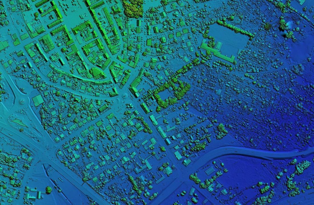
- Provide guidance on modern GRS and describe the steps to create, access, use and sustain a modern GRS. This includes technical guidance with hands-on sessions to demonstrate important geodetic processes including geodetic adjustments and developing transformation parameters.
- Assist with the development of international geodetic standards, particularly for the ISO Geodetic Register and EPSG Register.
- Provide guidance on establishing the necessary governance structures within governmental frameworks to oversee and manage the modernization of a country’s GRS.
- Assist in the development of a Communications and Stakeholder Engagement Plan.
Workshop Highlights
- Interactive Sessions: Hands-on training with the latest geodetic technologies and various geodetic methodologies.
- Expert Discussions: Engage with leading experts through dynamic panel discussions and other interactive sessions. Exchange of experience with professionals from different Member States and institutions.
- Technical Assistance: Receive guidance on developing practical technical manuals and communication strategies tailored to the national context.
- Networking Events: Build connections with professionals from your region and beyond, facilitating the exchange of best practices and innovative ideas.
Target Audience
- Surveying or geodetic professionals and practitioners: Individuals actively involved in geodetic work at a national or international level.
- Government officials: Representatives actively involved in technical geodetic processes and implementation.
- Academics and Researchers: Members of the academic community engaged in geodesy and related fields.
- Representatives from geodetic organisations: Individuals affiliated with professional bodies and organisations in the field of geodesy.
Benefits of Participation
- Develop tailored roadmaps for modernizing their national geospatial reference system.
- Gain practical experience with geodetic technologies and methods.
- Network with international geodesy professionals and share best practices.
- Learn to effectively communicate the importance of geodesy to decision-makers.
Practical information
Geodesy Capacity Development Workshop for the Americas on Transitioning to a Modern Geospatial Reference System
Santiago. ECLAC headquarters
| Place: | ECLAC Headquarters (Av. Dag Hammarskjöld 3477, Vitacura, Santiago, Chile) Enrique Iglesias Room |
| Date: | 3-7 November 2025 |
| Time: | 09:00 - 17:00 hrs. (Hora de Chile, UTC -3) |
| Language: | The Workshop will be conducted in English and Spanish, and the Workshop materials will be in English, Spanish and Portuguese |
| Note: | The Workshop for the Americas will run for five days and will take place in person in Santiago, Chile. Please note that there will be no online or remote participation available |
Schedule
3 nov 2025
09:00 - 17:00
Welcome and overview
- Nicholas Brown, Head of Office UN-GGCE
- Coronel Pedro Castillo Figueroa, Director of IGM Chile
- Rolando Ocampo, Director of ECLAC Statistics Division
- Sofia Nilo, President of UN-GGIM: Américas
Welcome from Ambassador Peter Thomson (video)
Gustavo Caubarrère, Uruguay
1.2.1 SIRGAS
Nicholas Brown, Head of Office UN-GGCE
1.2.2 The Importance of a Geospatial Reference System
Including an introduction to “The Roadmap: Guidance on how to build a country’s Geospatial Reference System”
1.2.3 Update on actions of the UN-GGCE
1.3.1 Introduction to Geodetic Reference System infrastructure
1.3.2 An Introduction to aligning national geodetic datums with the International Terrestrial Reference Frame
1.4.1 Regional Geodetic Collaborations
1.4.2 Options for countries to align their datums with ITRF (including worked example)
4 nov 2025
09:00 - 17:00
Ryan Keenan, UN-GGCE Consultant
Activity: Geodesy Factbook
Discussion on Geodesy Factbook
Nicholas Brown, Head of Office UN-GGCE
2.2.1 National geodetic adjustments
Discussion on national geodetic adjustments
2.3.1 Introduction to data standardization, tools and registers
Discussion on data standards
Start working on your Roadmap
5 nov 2025
09:00 - 17:00
Nicholas Brown, Head of Office UN-GGCE
3.1.1 Development of transformation parameters, plate motion models and deformation models
3.1.2 Worked example: Transformation Parameters
3.2.1 National geoid models and height datums
Ryan Keenan, UN-GGCE Consultant
3.3.1 Capacity development needs
3.3.2 International geodesy initiatives
Antonio Campuzano, Secretary General
3.4.1 Pan American Institute of Geography and History / Instituto Panamericano de Geografía e Historia
To be confirmed
3.4.2 Caribbean Geospatial Development Initiative
Walaa Allahham, UN-GGCE
3.4.3 Alumni of the workshop
6 nov 2025
09:00 - 17:00
Nicholas Brown, Head of Office UN-GGCE
4.1.1 Communicating geodesy
Group Activity: Communications
Ryan Keenan, UN-GGCE Consultant
4.2.1 Developing Business Cases for increased investment in geodesy
Group Activity: Drafting persuasive business cases
Geodesy country reports
4.1.1 Communicating geodesy
7 nov 2025
09:00 - 14:30
Nicholas Brown, Head of Office UN-GGCE
5.1.1 Governance
5.1.2 Joining Land and Sea
Group Activity: Working on your Roadmap
Nicholas Brown, Head of Office UN-GGCE|
Closing